


Page 111 - รายงานประจำปี สำนักการวางผังและพัฒนาเมืองปี 2568
P. 111
การดำาเนินการระยะท่� 1 : จััดทำาแผนท่�จัุดเส่�ยงภััยสำาหรับป้ระชาชน 5 ด้าน

                Phase 1: Development of Risk Maps for Public Use in Five Key Areas


                  1     จุดิเส่�ยุงอุที่กภััยุ
                        Flood Risk Areas


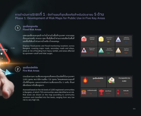
                        แสดงจัุดเส่�ยงแล้ะจัุดเฝ่้ารุะวิังนำาท่วิมในพั่�นท่�กัรุุงเทพัฯ  ครุอบคลุ้ม
                        ทั�งถ่นนสายหล้ักั สายรุอง ซึ่อย พั่�นท่�เส่�ยงนำาท่วิมจัากัฝ่นท่�ต้กัในพั่�นท่�
                        แล้ะพั่�นท่�เส่�ยงนำาท่วิมจัากันำาเหน่อ-นำาทะเล้หนุน

                        Displays flood-prone and flood-monitoring locations across
                        Bangkok, covering major roads, secondary roads and alleys,
                        areas at risk of flooding from heavy rainfall, and areas affected
                        by upstream runoff and tidal surges.


                  2     จุดิเส่�ยุงอัคค่ภััยุ
                        Fire Risk Areas


                        ปีรุะเมินต้ามควิามเส่�ยงขัองชุ้มช้นท่�จัดทะเบ่ยนจััดต้ั�งในกัรุุงเทพัฯ
                        2,003 ชุ้มช้น พับวิ่าม่ควิามเส่�ยง 720 ชุ้มช้น โดยแสดงผล้บนแผนท่�
                        เปี็นท่�ต้ั�งชุ้มช้น  แล้ะแบ่งรุะดับควิามเส่�ยงออกัเปี็น  5  รุะดับ  ต้ั�งแต้่
                        เส่�ยงน้อยมากัถ่ึงเส่�ยงส่งมากั

                        Assessed based on the risk levels of 2,003 registered communities
                        in Bangkok, of which 720 communities were identified as at risk.
                        Risk levels are shown on the map according to community
                        locations and classified into five levels, ranging from very low
                        risk to very high risk.


                                                                                                                                         111

